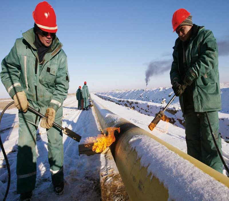
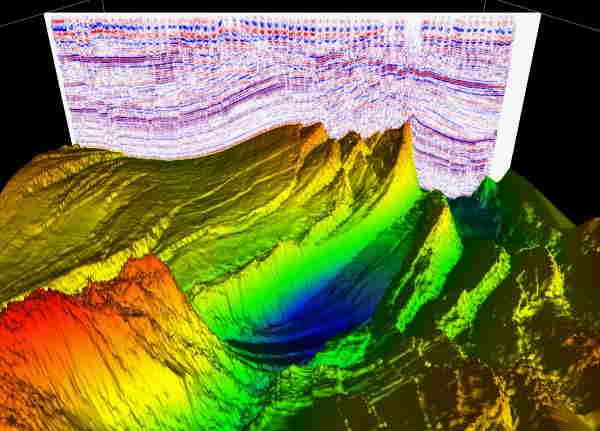
img

SEISMIC ACQUISITION


Delta is associated with Makamin. Makamin with acquisition of its partner company (GSC) capabilities include use of the most advanced seismic equipment. The company is supported by the leading USA Seismic Exploration technology input/output Company. GSC-U K has acquired seismic field equipment in partnership and support from INOVA USA capable to record over 6000 channels 2d/3d Dynamite and/or using Vibroseis and the latest third generation Full wave digital 3D component Vectroseis geophones to record P and S waves. GSC-UK continuously looks to expand activities and welcomes the opportunity of Joint projects in the region.

Seismic Services

Services offered include:


-Seismic Reflection 2D/3D/4D using third generation full wave
-Recording Vectorseis RN technology from INVOA USA
- Shallow Seismic Reflection
- Seismic Refraction
- High Resolution Seismic Refraction
img

SEISMIC DATA PROCESSING

imageportofolio

The company processing experts have worked for over 35 years worldwide in 2D/3D seismic data acquisition, processing and interpretation. We processed and interpreted tens of thousands of kilometers 2D and 3D seismic data from different regions from the world.
As explorationists, we know that you are very mindful of time and quality of data analysis; We identified the following as potential requirements.


  Experienced explorationists team using advanced processing technology to:

  • • increase signal to noise ratio (S/N) of the seismic data
  • • lmprove continuity of the geological horizons
  • • Remove possible false geological features
  • • Derive the most accurate velocities for stacking and depth migration
  • • Extract the best wavelet for seismic de convolution
  • • Preserve the relative amplitude for direct hydrocarbon indication
  • • Migrate and dip move out seismic data to tie the VSP and well logs

img

SEISMIC DATA INTERPRETATION


Our team has a very solid background in signal analysis for seismic applications combined with a strong experience in the area. Our objective is to work for you and with you as one team to produce a true geological section.

SEISMIC DATA INTERPRETATION
GSC-UY. adopted software includes 2D/3D interpretation packages performed interactively using the power of the PC workstation from Hewlett Packard. Our software is supported by Landmark.

Services include:
  • -2D lnteractive package which allow tor complete interpretation of your processed seismic data together with possible integration of the geological information derived to produce final Interpreted maps in time and in depths. Also the user can perform post signal analysis for seismic attributes study. QC process is available at all phases of in terpretation-3D interactive package which is the state of the art 3D interpretation for all kinds of post processing signal analysis. Slices display in the time and/or in depth could be generated. Also to produce all kinds of interpreted maps 2D & 3D. Structural 3D Movie views are also available with QC possibly at any phase of the interpretation process
  • -Well log analysis and reservoir studies are available and integrated with the 2D/3D/4D seismic interpretation.
  • - The integrated geophysical and geological package results could be done for presentation and marketing packages.


SHALLOW GEOPHYSICS

Services offered include:

  • • Depth to Bedrock surveying and mapping
  • • Soil Sequence Stratigraphy imaging and mapping (clay, silt, sand, gravel, cobbles & boulders)
  • • ln-Situ Material Properties Testing (eg. shear wave analysis, electrical resistivity, rock rippability The rippability of rock is controlled by numerous parameters including uniaxial strength, degree of weathering, abrasiveness, and spacing of discontinuities. Typically, weathered rocks, highly stratified or laminated rocks, and rocks with extensive fracturing are rippable.
  • • 3D Subsurface imaging and Mapping
  • • Buried Object Detection
  • • Void Detection / Imaging• Shallow and Deep Oil/Gas Exploration
  • • Groundwater Exploration
  • • Lake/River Bathymetry, Ice Thickness

img

img

GEOTECHNICAL SITE INVESTIGATIONS


Makamin provides shallow geophysical surveying and data analysis services for geotechnical and civil engineers tasked with completing site investigations within their project llm1ts. The data results we provide represent additional subsurface information required to understand what is going on in-between and beyond borehole locations in order to fully appreciate and understand in·situ conditions. Make better more confident decisions and recommendations on your client's behalf based on increased subsurface exploration coverage within your project area.

Field Tests:
  • - Upper bedrock surface profiling/mapping
  • - Soil sequence stratigraphy
  • - Soils characterization (clay, silt. sand, gravel, cobbles)
  • - Soil/rock profile geometry
  • - Soil/rock stiffness/hardness parameters
  • - 5011/rock resistivity parameters
  • - Fault detection and mapping
  • - Void detection and mapping

ENVIRONMENTAL INVESTIGATIONS


Makamin utilizes shallow geophysics to detect, dehneate and map a wide variety anthropogenic (Man-made) subsurface features and/or buried hazards including:
  • • Landfill boundaries
  • • Buried drums
  • • Contaminated soils
  • • Graves, archaeological artifacts
  • • Remnant building foundations
  • • Buried pipelines, utilities, conduits
  • • Voids

img

img

NON-DESTRUCTIVE TESTING


Makamin offers a variety of geophysical methodologies to measure subsurface material properties or to scan existing infrastructure. Targeted Features:
  • Shear wave velocity determination (in 1, 2 or 3 dimensions)
  • Electrical resistivity testing (cathodic protection/grounding studies)
  • Concrete imaging in 3·dimensions tor rebar/electrical conduit mapping
  • Detection of void space below concrete slab structures


LAND SURVEY

Makamin Land Survey Department is engaged in this field tor the last i0 years through our partner company (GSC) and in this period this department rendered high quality services. Land survey department is equipped with well educated & experienced technical Staff using latest technology and equipment's and is providing following services:

  • • Land Surveying & Leveling
  • • All type of Topographic Surveys
  • • Corridor Alignments (Horizontal & Vertical) and Profile
  • • Cadastral Surveys: cadastral surveys create, define, mark, and re-establish the boundaries and subdivisions of the public lands
  • • Demarcation services: fixing the boundary or limits
  • • Setting out Survey
  • • Gate level computation services
  • • Digital Terrain Modeling
  • • Settlement Monitoring
  • • Earthworks Volumes
  • • Underground Utilities Survey
  • • As-Built Survey
  • • Establishment of Control Station & Bench Mark
  • • Precise & Differential Leveling
  • • Survey Consultancy and Check engineering
  • • Hiring of Survey Crews
  • • Aerial Control Mapping
  • • Laser I 30 Scanning

img